Guide
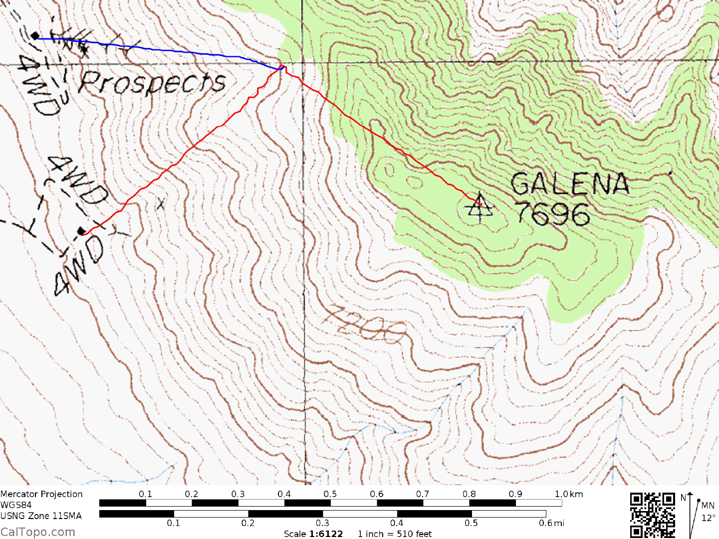
DRIVE: From Olancha, CA., drive E on State Highway 190 for 14.7 miles to its junction with State Highway 136. Turn right on State Highway 190 and go 17 m iles to the signed Saline Valley Road. Turn left (N) and drive 8.2 miles on this fair, paved road to pavement end at a fork. Bear left here at the signed White Mtn Talc Road, which is excellent dirt and go 3.8 miles to its junction with a good dirt road. (There are two dirt road junctions very close to one another in this area, both heading off from the White Mtn Talc Road in approximately the same direction. Be sure you choose the second, or northernmost of the two.) Turn right here and follow the rapidly deteriorating road (4WD may be required in this area) NNW for 3.5 miles to a poor road heading right (E) toward the peak. Turning right, follow this road for slightly over 0.5 miles to a cabin located at the base of the mountain. 0.1 miles beyond the cabin park at a switchback in the road with ample room for a vehicle to turn around.
NOTE: The 4WD road (shown on the topo map) which ends at the cabin 0.25 miles SSE of the cabin mentioned above no longer exists. There are only faint traces of a road which the desert has successfully reclaimed.
CLIMB: Drop into the wash immediately S of the road switchback, cross it and climb to the ridge on the opposite side. Following the ridge generally E you'll encountering a few false summits on your way to the highpoint. Either return the same way or drop into th e prominent wash just S of the ridge you ascended and follow it down to a cabin site and mine at 6500 feet elevation in the mouth of the wash. Good sand in the lower third of this wash makes for a quick, painless descent.
ROUND TRIP STATS: 1200 feet elevation gain, 2 miles, 2 hours
SIDELINES
- The Nelson Range is located within the boundary of Death Valley National Park.
- The peak can be ascended from many other routes than the two shown.