Guide
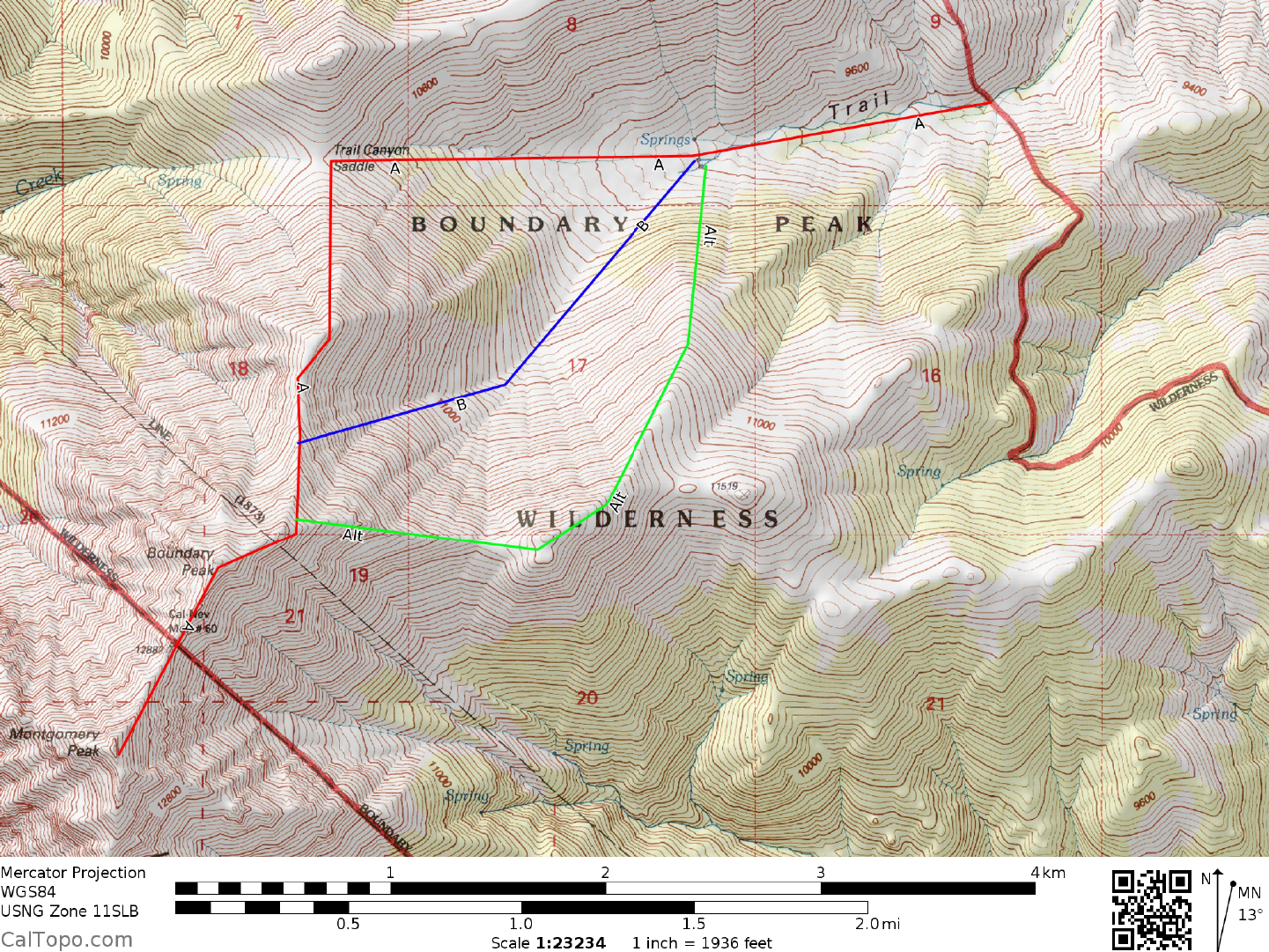
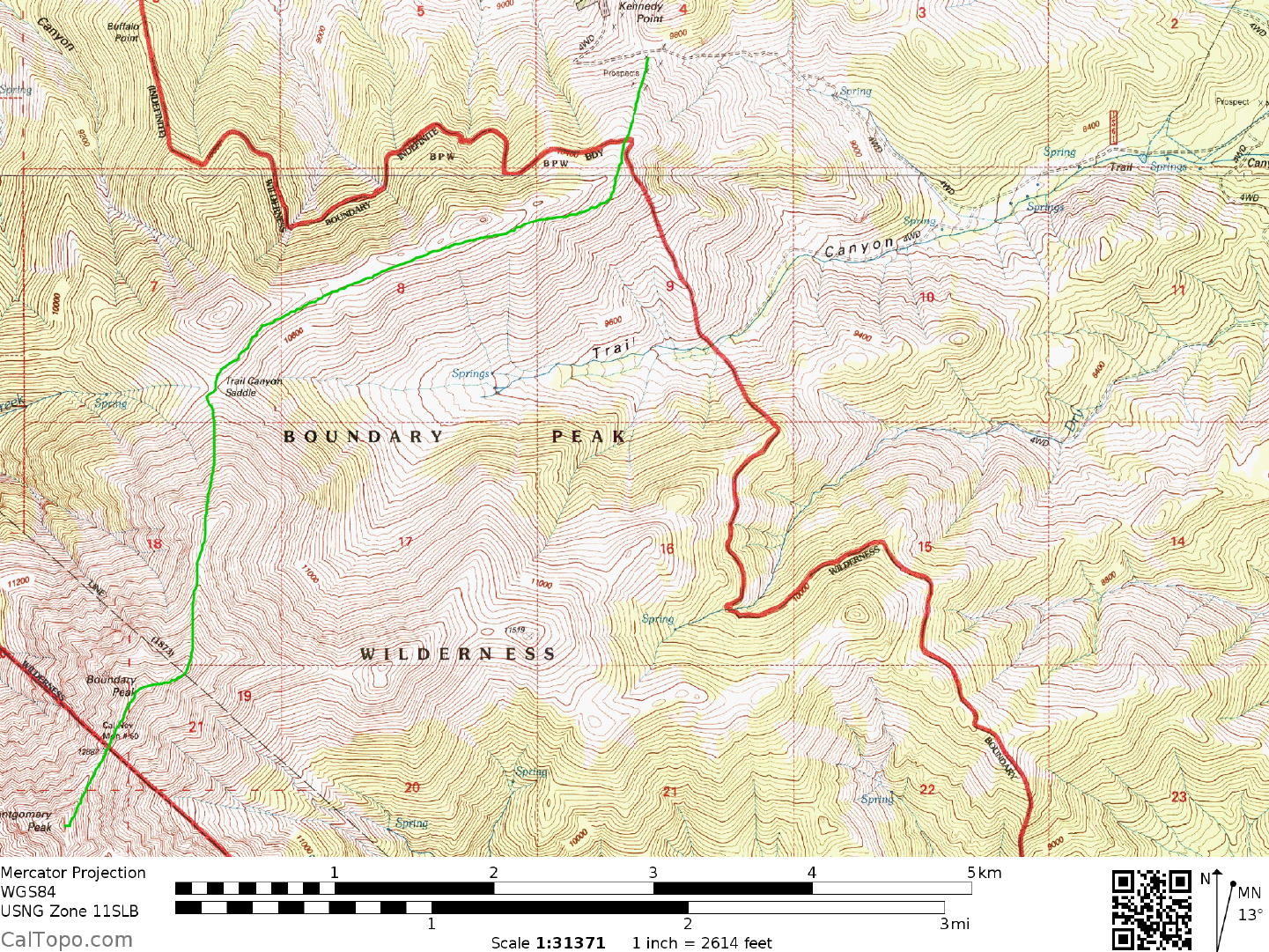
DRIVE/ROUTE A: Follow the DRIVE/ROUTES A & B or ALTERNATE DRIVE/ROUTES A & B directions for Boundary Peak, Guide No. 1.3.
CLIMB/ROUTE A: Follow the Climb/Route A or Climb/Route B directions for Boundary Peak, Guide No. 1.3, to the summit of that peak. Slightly over one-half air mile SW of Boundary Peak, the rugged mass of Montgomery Peak dominates the skyline. From the summit of Boundary Peak, head SW down the ridgeline toward the saddle between the two peaks. Following th e exact backbone of the ridge down to the Boundary-Montgomery Saddle would involve some rock climbing over a few rocky crags, but traversing beneath the crags on their W side bypasses all of these difficulties. From the saddle, bypass the first crag encountered on its E side, then follow the Class 2-3 ridgeline directly to the summit of Montgomery Peak. Care must be taken on this ridge if snow or ice are present, as is often the case in spring. During such conditions this ridge should be attempted only by experienced mountaineers with pr oper winter mountaineering skills and gear. Ice axe, crampons and rope may well be needed to safely negotiate that portion of the route.
ROUND TRIP STATS/ROUTE A: 5000 feet elevation gain, 10 miles, 10 hours
DRIVE/ROUTE B: Follow the Drive/Route C directions for Boundary Peak, Guide No. 1.3.
CLIMB/ROUTE B: Follow the Climb/Route C directions for Boundary Peak, Guide No. 1.3, to the summit of that peak. From here follow the ridgeline SW to ward Montgomery Peak as described in Climb/Route A above.
ROUND TRIP STATS/2WD/ROUTE B: 5000 feet elevation gain, 12.5 miles, 11-12 hours
ROUND TRIP STATS/4WD/ROUTE B: 4400 feet elevation gain, 10 miles, 9-10 hours
SIDELINES
- Montgomery Peak and nearby Montgomery Creek appear to have been nam e d for a Mono County settler who built a mill along the lower portion of Montgomery Creek in the late 1800’s. On early maps of the region, Montgomery Peak was labeled as White Mountain Peak. That was changed in 1917, when the USGS renamed the mountain Montgomery Peak and transferred the old name to the highpoint of the White Mountains, which is located approximately 15 miles further south along the crest of the range.
- Camping: see the sidelines for Boundary Peak (Guide 103)