

|
This peak guide is presented for the convenience of our visitors.
|
|||||
|---|---|---|---|---|---|
|
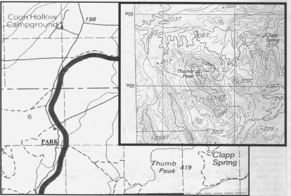
This guide is based on a Sage article by Mark Adrian Topo Map: Thumb Peak 7½ DRIVINGFrom I10, 14.1 miles east of Hwy 78, take Wileys Well (road) south for 8.7 miles to the Bradshaw Trail intersection. Continue south, now on Milpitas Wash Road for about six miles to UTM 11 S 695l90E, 3699050N on the Wileys Well 7.5' topo. This is about one mile south of the county line and there's a red staked road heading southeast. Alternatively, you can approach the trailhead by driving 15.6 miles north Milpitas Wash Road from highway 78. HIKINGSeveral good dirt roads (now red staked) penetrate the Wilderness and offer an easy approach hike, yet there is some cross country as you near Thumb's western face, which takes no more than an hour from the parking spot. When you confront the peak, it becomes clear the route is not straight forward. While there are many technical routes available, you may not need a rope. However, some may. The route we eventually found up the peak was tricky, but, that was the challenge that capped the day's efforts. NOTESThumb Peak (1375') is located just inside Imperial County, perhaps 25 air miles southwest of Blythe, CA in the northern third of the newly-created making Pale Verde Mountains Wilderness. |
|
||||||
| Desert Peaks Section, Angeles Chapter, Sierra Club © Copyright 1998-2012 - All Rights Reserved Updated: February 9, 2012 |